
DAY 1
We piled into the buses at 4:30am, starting the long drive to the Knuckles Mountain Range. The trip to our camp ended with a short hike where we first experienced the beautiful environment we would be exploring for the next few days. At the camp, we were assigned to our groups and our tent groups. My group was Chloe, Marco, Lexi, Oliver and I, and I shared my tent with Lexi and Chloe. After a lunch of rice and curry, we set out on our first hike. For every hike we assigned roles to everyone in my group; for this hike I was the map reader, which meant I was in charge of figuring out where we went on our hike, and the group leader, which consisted of making sure our group worked well together and delegating the roles. We made it back to our camp in the dark, having to use our flashlights to follow the path back.
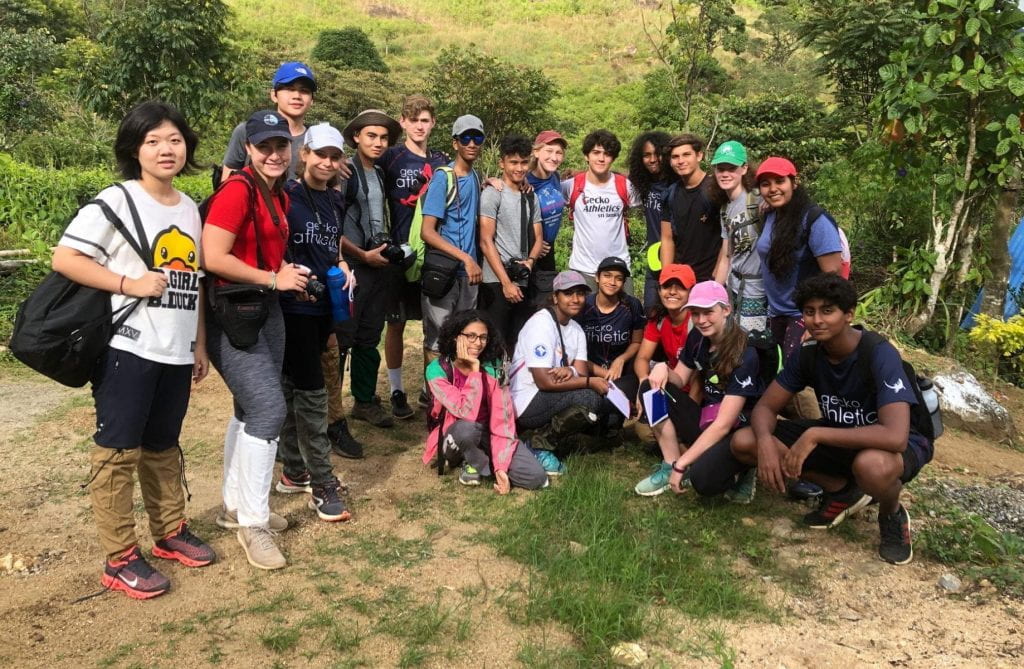
Ready to set off on our first hike of the trip. (Photo Credits: Mr. Lockwood)

My group working together to find our location on the map. (Photo Credits: Mr. Lockwood)
DAY 2
After a delicious breakfast and tea, we started the 13.7km hike to Corbet’s Gap. For the first half of the hike, I was in charge of reading the compass and reporting the bearings to our scout, Lexi, and for the second half of the hike, I was the scout. I worked well with Lexi to record the bearings which were very important when creating the route cards later on. During this hike, I also worked closely with Chloe in taking photos of flowers that I would later sketch as a part of my Focus Project because she was also planning on a focus project with a similar topic. Finally, we reached Corbet’s Gap however the beautiful view of the mountain range was covered by fog.
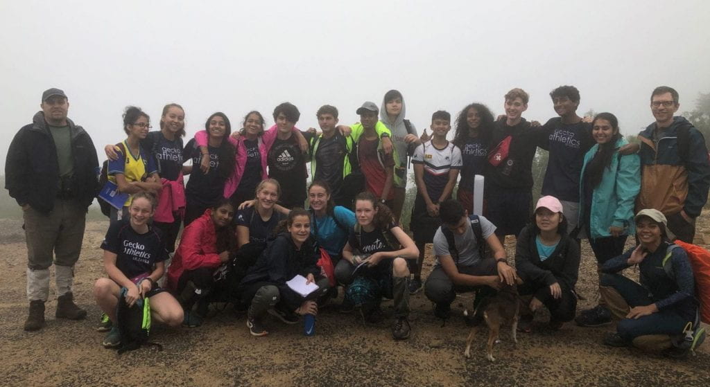
Made it to Corbets Gap! (Photo Credits: Mr. Lockwood)
After a short snack break, we headed back. We were about halfway done with the hike when it started pouring rain. Poorly protected with our rain gear we sped up. We met up at a small town where we piled on to the buses which took us most of the way back to camp. After leech checks, lunch, and a couple card games, we filled out our route cards as a group.

Hiking back to camp.
Day 3
The third hike and final hike was definitely the most challenging hike of the trip. Around 8:30am we started the hike up the mountain. After a steep ascent up the mountain through the cloud forest we reached the peak of the mountain with a view again covered by fog. We then followed a small stream downhill and back into the forest. The trail led us to Kotaganga Falls, where we all jumped into the refreshingly cold water, before heading back down the mountain.
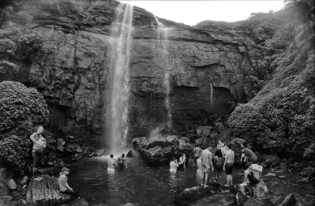
At Kotaganga Falls (Photo Credits: Mr. Lockwood).
Meeting back at camp for a lunch of rice packets, we started the long bus ride back to Colombo. It was a wonderful experience to enjoy Sri Lanka’s natural beauty and work collaboratively to practice new skills.
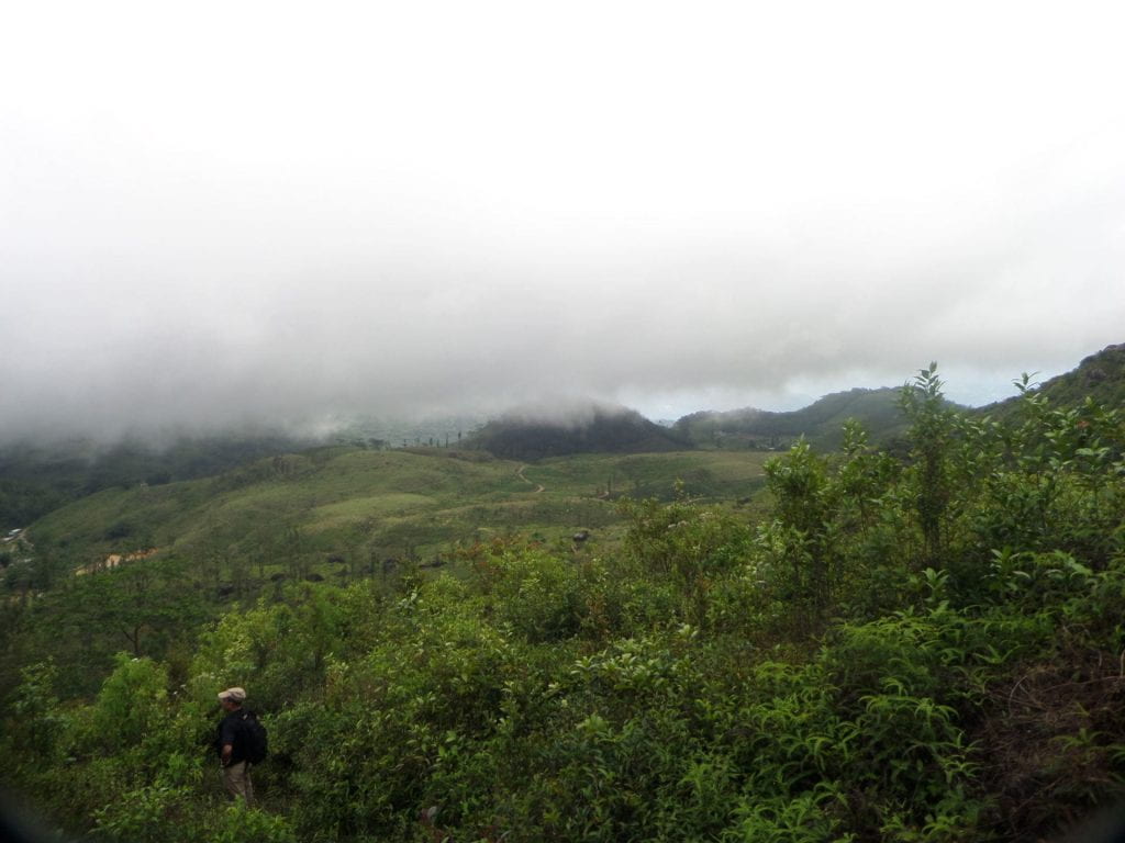
View from halfway up the mountain.
Map of the hike routes (Credits: Mr. Lockwood)
Focus Project
My Focus Project for this journey was to identify flowers that I saw on the hike in Knuckles and sketch them. I used the app iNaturalist to identify and research the flowers and then I sketched them with graphite after the journey.
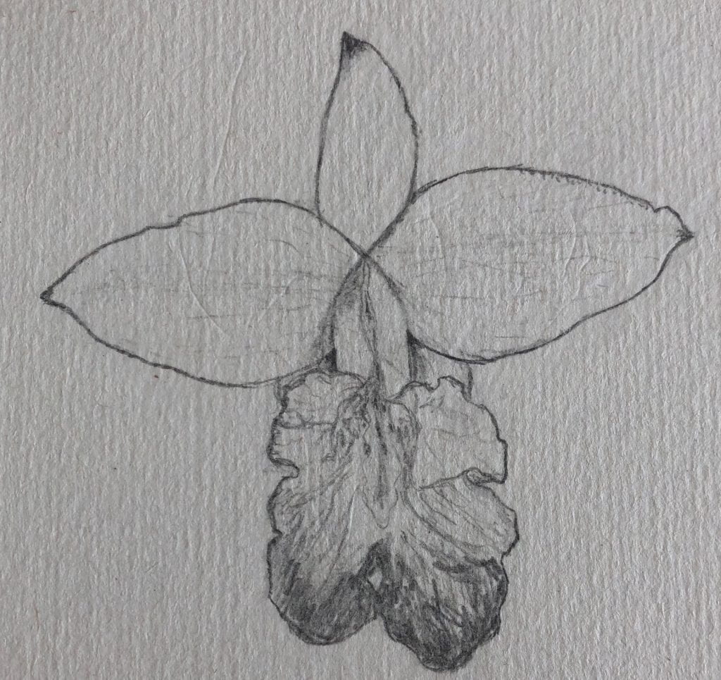
Arundina Graminifolia (Bamboo Orchid)
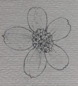
Bidens Pilosa (Bur Marigold)
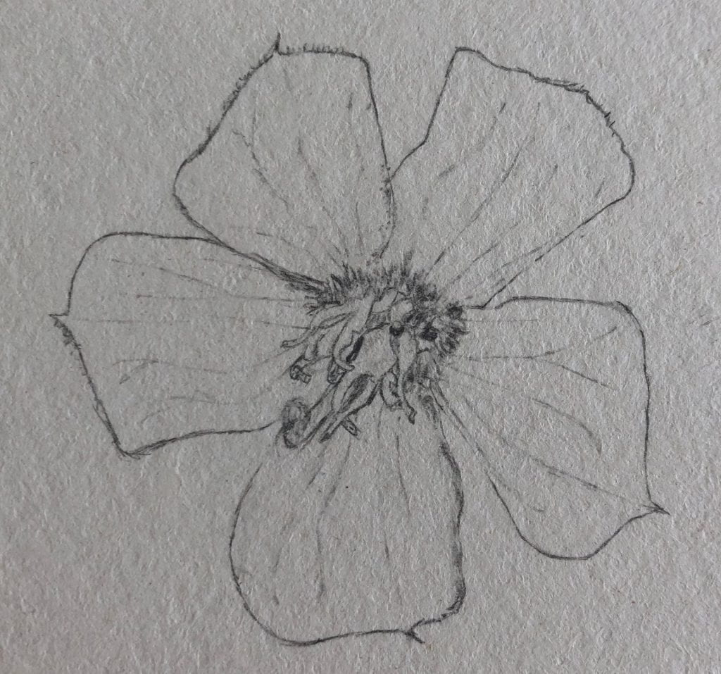
Melastomataceae Gordan Daida
The Arundina Graminifolia, also known as the Bamboo Orchid is found in Sri Lanka, India, Nepal, Thailand, Vietnam, Malaysia, the Philippines, China, Indonesia, and Singapore. The Bur Marigold, also known as Bidens pilosa, is found in tropical and warm temperate areas. The Melastomataceae Gordan Daida have a characteristic venation pattern on the leaves and are found in tropical or subtropical areas.